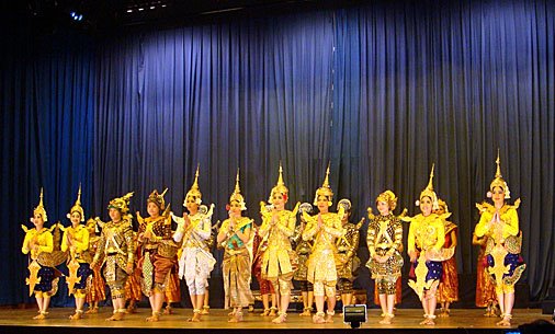
Kudos to
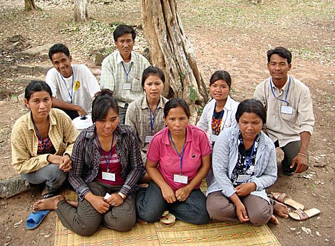
Alison in Cambodia who managed to tie down (not literally) Sovichetra, a temple and archaeological site-hunter supreme. I've spoken to Chetra a few times by phone but we never met face to face, so I was pleased to see that Alison had tracked him down. He's been the main man on the ground in the development and identification of the archaeological sites on the CISARK province maps that I've been shouting about these last few months and its nice to see the hunter in turn being hunted. Here's her recent blog post on the subject.
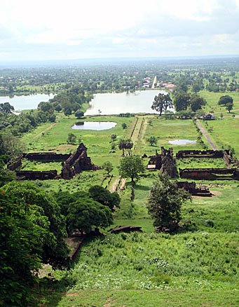
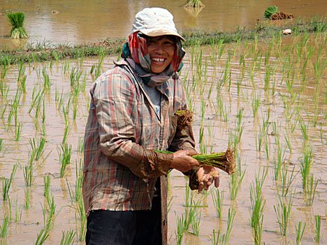
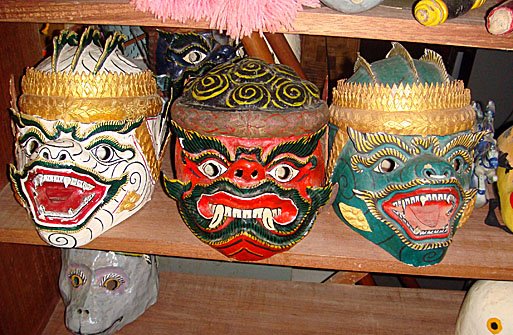
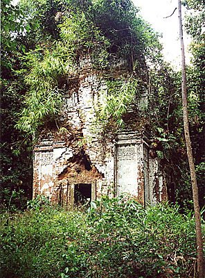
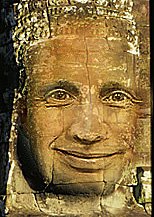
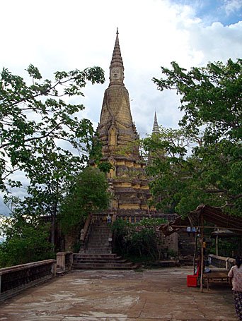
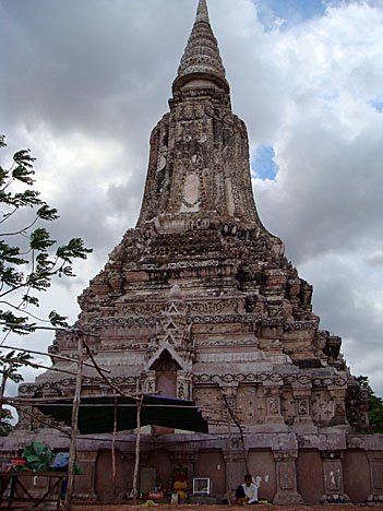
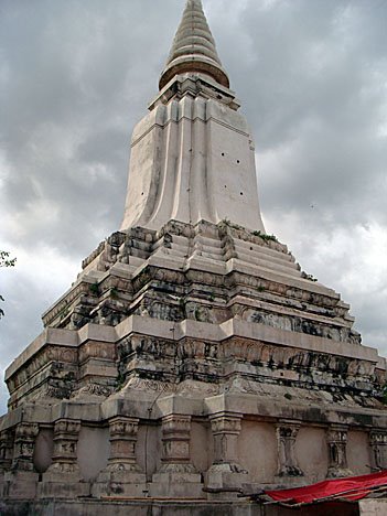
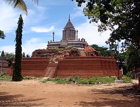
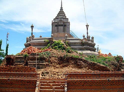
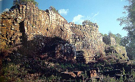
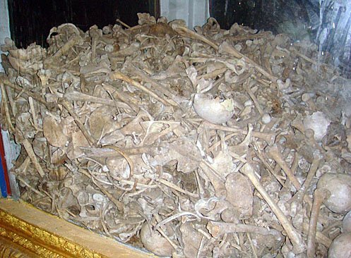
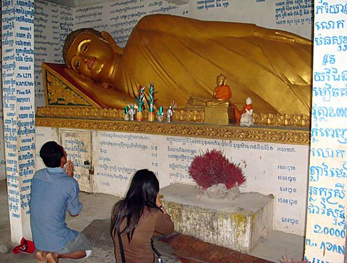
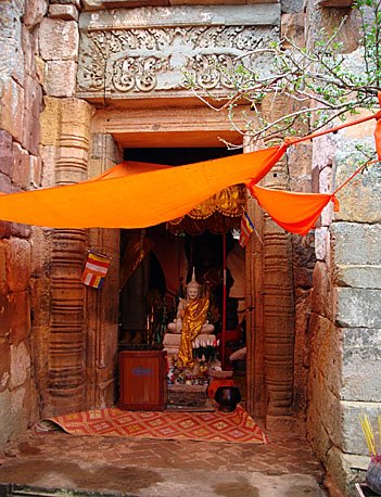
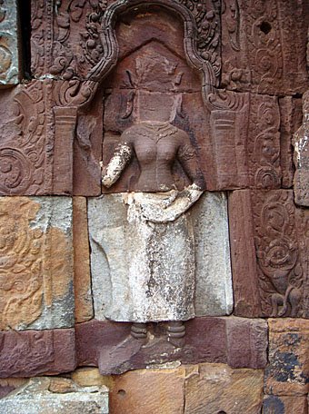
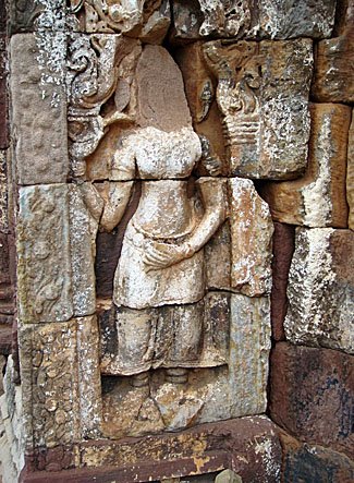
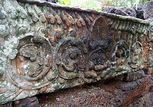
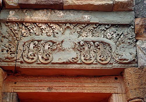
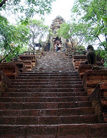
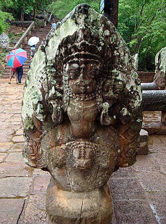
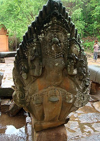
 There are over 4,000 archaeological sites in Cambodia
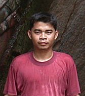
...and this man visited almost all of them. Here’s the latest article I wrote and submitted to TouchStone for publication in an upcoming issue: an interview with Chetra Chan. I met Chetra through a mutual archaeologist friend and am very impressed with all his archaeological experience so far. I’m glad to say he’ll be getting some more advanced GIS training in the US which I think will lead to some very exciting research in the future.
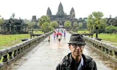
Most tourists and visitors to Cambodia are only familiar with Cambodia’s major archaeological sites at the Angkor Archaeological Park in Siem Reap. However Cambodia is home to over 4000 archaeological sites all across the country, and one man, Chan Sovichetra, has visited almost all of them. Sovichetra, or Chetra to his friends, was a member of a joint project run by the Ministry of Culture and Fine Arts and the École française d’Extrême-Orient (EFEO), the goal of which was to map the location every archaeological site in Cambodia. Chetra joined the project in 2002 after finishing his degree in archaeology at the Royal University of Fine Arts in Phnom Penh. We asked Chetra about his experiences working on this project.
1. How did you go about finding out about all of these sites?
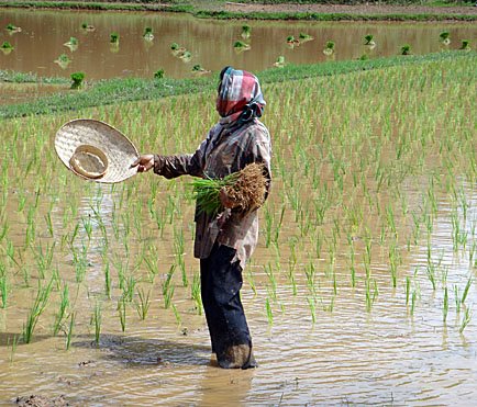
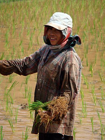
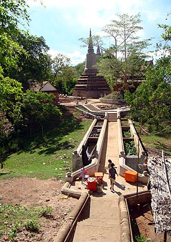
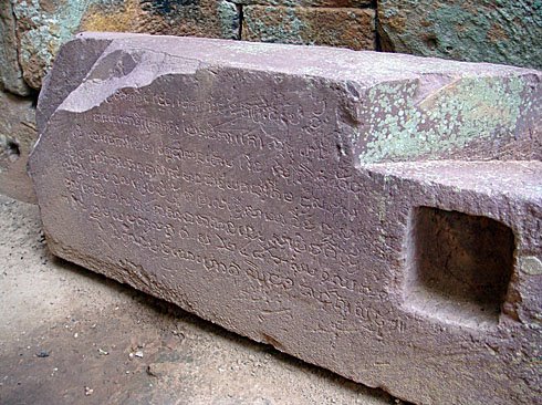
The first part of the project was to collect all the information that the French had already recorded. [Several French scholars including Etienne Aymonier and Lunet de Lajonquière surveyed and recorded archaeological sites in Cambodia the 19th century]. We would go out and visit these sites [to collect information for the maps]. For the second step, we collected information from the list documented by Department of Culture and Fine Arts for all the provinces. After that we would go to different villages and ask villagers about other sites nearby [that hadn’t yet been recorded]. We would take GPS points, photographs, and ask the villagers the name of the site.
2. How did you travel around the country to visit these sites? Were there any difficulties?
By motorbike. Sometimes the motorbike broke down which was difficult. Also I don’t know how to swim so I don’t like crossing rivers. But it was exciting. I am Cambodian so I enjoyed getting to see my country.
3.
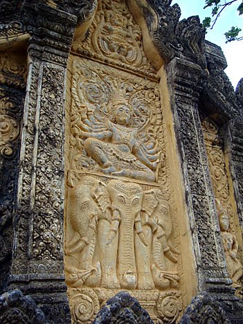
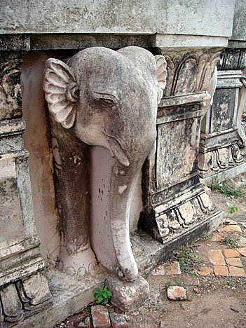
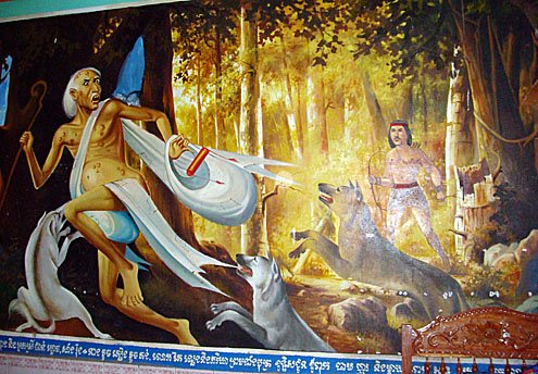
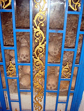
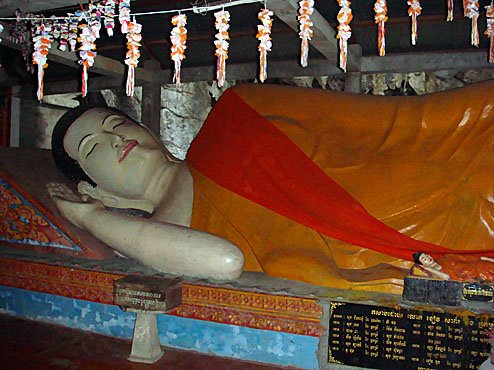
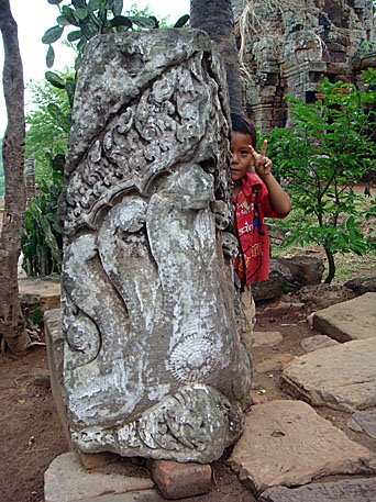
Did the villagers have any stories or legends about the sites you visited?Temples always have legends, like they are the palace of the gods or stories about people who lived around them. For example at the Koh Ker group there is a temple and behind the temple there are mounds. The people there say it is the tomb of the White Elephant from the legend of Neang Tournsatra.
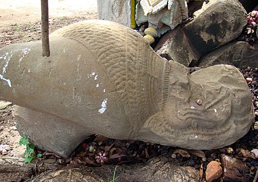
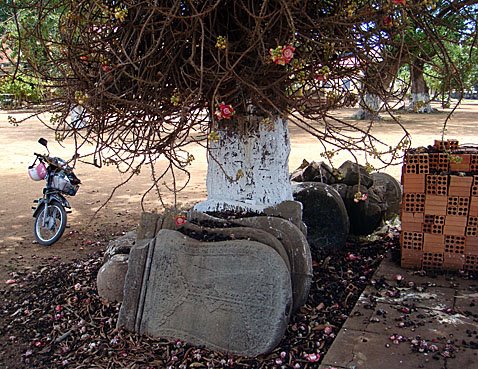
4. Were there any interesting artifacts at any of these sites? Could you tell how old they were?
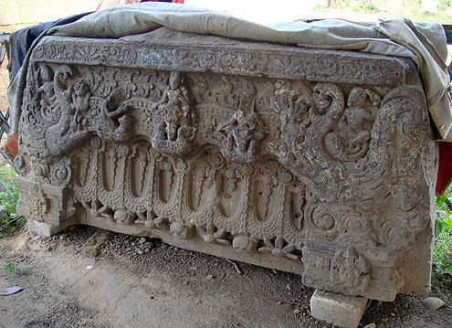
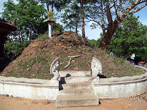
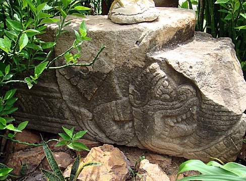
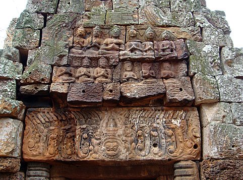
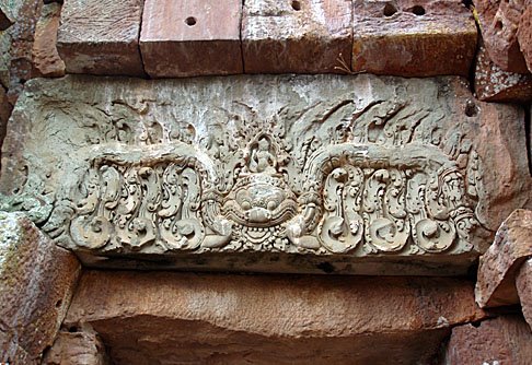
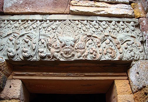
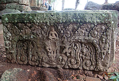
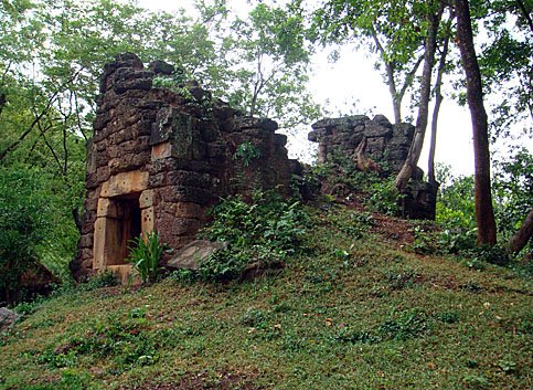
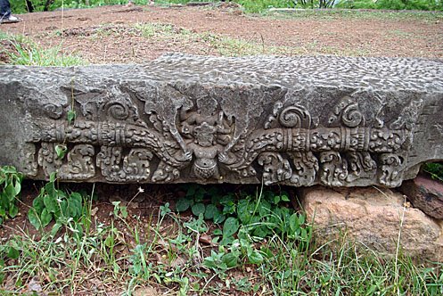
Sometimes the sites were interesting and sometimes they weren’t. Most of them had already been destroyed. If there were temple remains I could sometimes look at that and determine the time period it was from. Almost all of the Angkorian period sites had evidence for pre-Angkorian occupation as well.
5. Were there any sites you were unable to go to visit?
Yes, there were many sites in areas with many landmines that we could not visit because it was too dangerous. There were many sites in Banteay Meanchey near the Thai border. These are not listed on the map.
6. What was your favorite place to visit? Is there any place you would like to go back and study more?
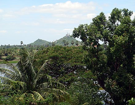
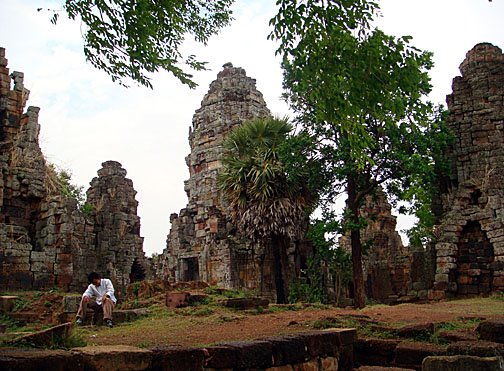
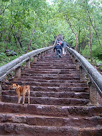
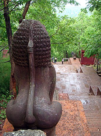
I really liked Preah Vihear. Not just the Preah Vihear temple, but there are many big temples in the province located in the dense jungle. I am also interested in the ancient roads. There is part of Angkorian road that goes near Bakan [also known as Preah Khan in Preah Vihear Province]. On the map it just stops but I think it goes further east, I would like to study that more.
7. What are your plans for the future?
I would like to continue studying archaeology. In July I will go to University of Hawaii to continue studying archaeology there for a special program to learn GIS and archaeology.
After six years of hard work and with additional help from UNESCO, a set of paper maps has been produced noting the names and locations of all of the recorded archaeological sites in Cambodia province by province. Maps have been published in both French and Khmer and are for sale at the National Museum and the French Cultural Center. A corresponding interactive website the Carte Interactive des Sites Archéologiques Khmers (CISARK) with photos and additional information can be found at: CISARK. Article printed courtesy of Alison In Cambodia.
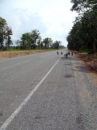 The empty highway, except for a family of goats, leading to the Laos-Cambodia border crossing at Dong Kralor
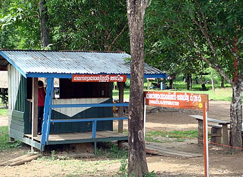 The Laos immigration post - laid-back is an understatement
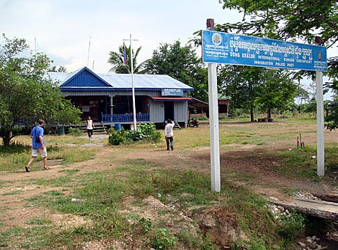 The Cambodian visa application post; $20 plus visa processing fee
 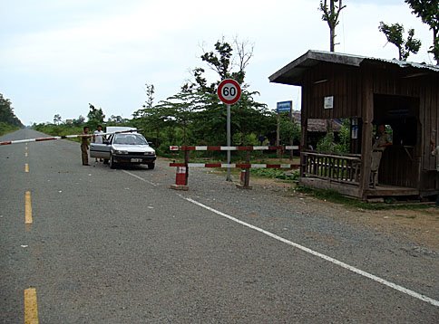 Avoid these taxi drivers at all costs! The hut on the right is the Cambodian immigration post and the road behind the car is devoid of any life for many kilometres